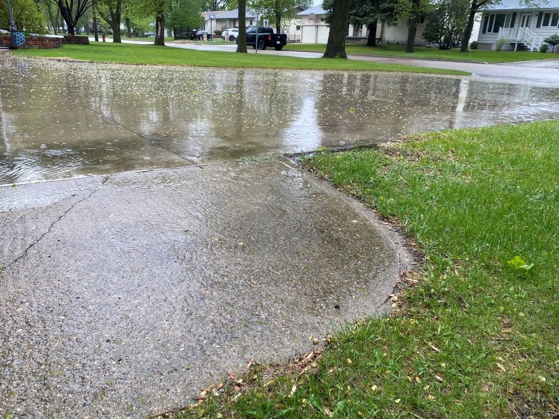
To numerous residents of Manitoba, the Victoria Day long weekend – often considered as Canada’s informal kickoff to summertime – has come to be associated more with cold breezes, overcast skies, and intermittent rainfall rather than outdoor grilling sessions and balmy nights.
An ongoing chilly and unstable weather system
Meteorological guidance this spring has repeatedly flagged a blocky, unsettled pattern anchored over the Prairies. Long‑range models throughout May have suggested that southern Manitoba would see rain‑bearing systems every two to three days well into mid‑June, rather than dry, warm air masses typical of late May. In practical terms, that means more often than not your plans for camping at Birds Hill or firing up the grill get derailed by a passing shower.
Historical averages vs. reality
In May, climatic data for Winnipeg indicates that daytime temperatures rise from approximately 15°C to 20°C. There is generally a 20 to 30 percent probability of rainfall each day, resulting in around nine wet days throughout the month. However, these averages overlook the reality that during this period, particularly around the long weekend—which typically falls between May 17 and 24—the city is just entering what is considered its “warmer season.” This warm phase formally kicks off around May 17 and continues through mid-September.
In reality, during those first few days of warm‑season transition, air masses are still fickle. A cold front can sweep down from the Northwest Territories or northern Alberta at any moment, plunging daytime highs from the low 20s back into the single digits overnight.
In recent times: A series of wet weekends
Between 2022 and 2024, the weather during the May long weekend did not feel much like the beginning of summer. In 2022, temperatures ranged from about 8°C to 17°C, often accompanied by rainfall. The following year, in 2023, conditions improved only slightly; daytimes saw temperatures mostly between 10°C and 14°C, along with cloudy skies and light showers. Similarly, in 2024, peak temperatures reached into the middle teens but then dropped back as more rain moved through.
In May 2025, following a short-lived heat wave that brought temperatures close to 30°C on May 13th, weather predictions once more indicated a significant decline back down to single-digit figures over the weekend. Showers were anticipated as well, which continued Manitoba’s persistent pattern of damp and chilly May long weekends.
Why the cool bias?
-
Jet‑stream positioning:
In spring, the polar jet stream often wavers just south of Manitoba, allowing cold Arctic air to spill over the province more easily than in mid‑summer. -
Remaining snowpack and soil cooling:
During late-spring snowmelt and with persistently cool ground temperatures, the lower atmosphere becomes more stable. This stability curbs quick daytime warming, facilitating conditions where low-pressure systems can generate clouds and precipitation more readily. -
Moisture from the Rockies:
As Pacific systems cross the Rockies, they often unload moisture over the Prairies. With spring’s weaker sun angle, that moisture translates into showers rather than convective summer thunderstorms.
Looking ahead
Climate projections don’t suggest a rapid “fix” to this pattern; spring in the Prairies will likely remain volatile for years to come. So, while we can hope next Victoria Day brings blue skies and warm breezes, it’s wise to prepare for a bit of Manitoba’s trademark spring chill and rain — because for many of us, that’s simply part of the long‑weekend tradition.


